by alonanola via AdobeStock
Activity #1 (Improvement of land-use/climate change plans)
Description of Activity
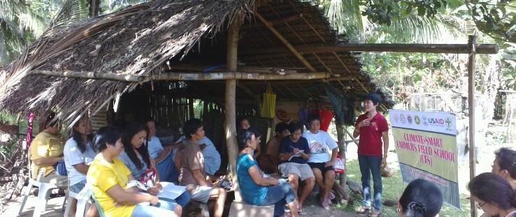
Workshops were conducted with stakeholders to develop the understanding of climate hazards and future land-use plans, with a primary focus on coastal areas.
Purpose, Process, Outcome
Questionnaire survey to understand local climate risks -> Completed
Participatory mapping activity to understand future land-use plans -> Completed for ~50% of local government units
Groundwater sampling and salinity analysis -> Completed
Training Material
Participatory coastal land-use management (PCLM) guidebook
- Guidebook length: 88 pages
- PDF full version
Training materials contain basic concepts/approach for PCLM, and detailed tutorials for the (free) risk assessment models/software (SLAMM, WEAP, InVEST) used in PCLM. The goal is for local stakeholders to develop the skills to be able to conduct PCLM with minimal assistance, once training is completed.
Training Record

Training record is shown in the table on the right.
Evaluation
What was accomplished?

Support was obtained from local/provincial government agencies to start the pilot project. Input for PCLM risk assessment (local climate hazard information, participatory land-use maps, groundwater samples, existing land-use/climate change plans) was received from multiple sources.
What is the issue?
Risk assessments and subsequent countermeasure identification has not yet been conducted, preventing full implementation of PCLM. These activities are proposed for FY2020.
Technical reference
- Sea Level Affecting Marshes Model (SLAMM)free software
- WEAP OpenGeoSys models free software
- InVEST coastal vulnerability model free software

