by Milosz Maslanka via AdobeStock
Climate change impacts
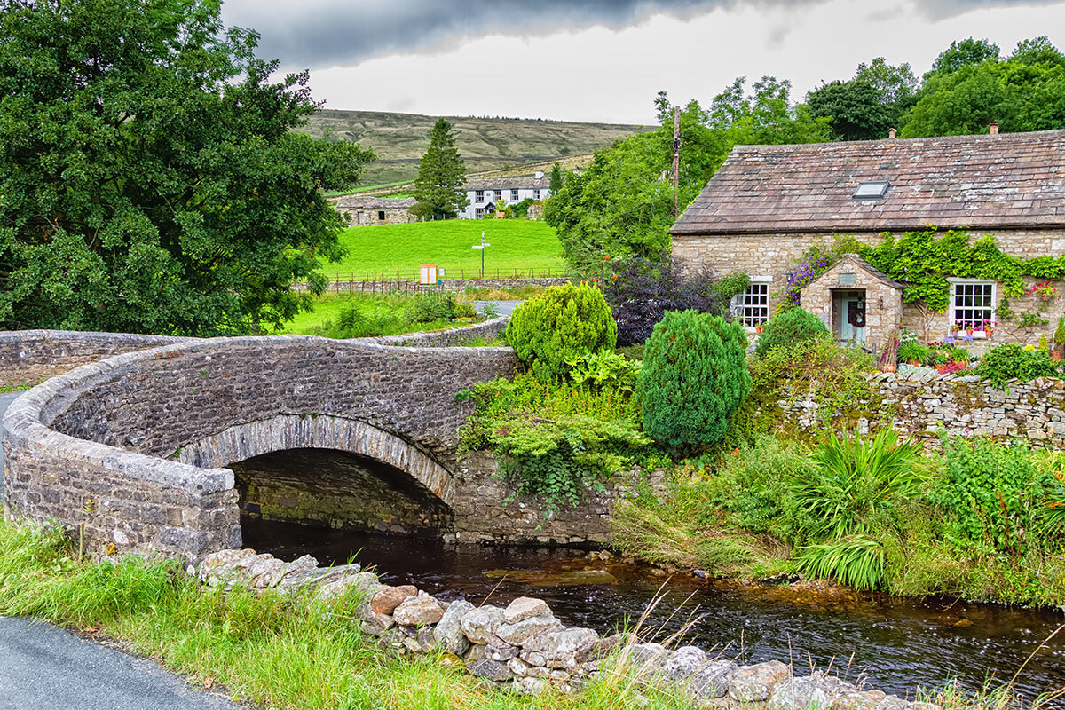
In the Yorkshire Dales National Park, UK, flooding of the Bishopdale River has caused major roads to become inaccessible, cutting off access to schools, hospitals, shops, and other infrastructure. As recent climate change science predicts intensified and increased frequency of heavy rains, a change of approach in managing flood risks is necessary.
Adaptation activity
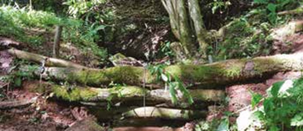
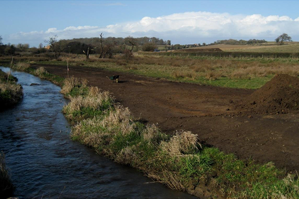
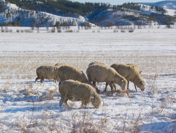
Since the summer of 2018, the UK Environment Agency, Yorkshire Dales Rivers Trust, Yorkshire Dales National Park, and residents, have been working together to implement natural flood management (NFM). NFM aims to reduce the downstream maximum water level of a river during a flood by restoring or mimicking the natural functions of rivers, flood plains, and catchment areas to allow more time for emergency flood preparations and to delay the arrival of the flood peak (the highest level of water flow in the event of a flood). This includes spill management, the creation of large earth, small wooden levees (Fig. 1), soil management, forest land development, development of buffer zones for riverbanks, and livestock grazing on flood plains, etc. (Fig. 2). The Yorkshire Dales National Park has also produced the “Natural Flood Management Measures: A Practical Guide for Farmers,” and provides stakeholder farmers and land managers with easy-to-understand guidance on request.
Outputs / Expected benefits
NFM utilizes simpler, traditional methods compared to engineered safeguards and is expected to reduce the risk of flooding without significantly impacting productivity or causing significant changes to land use.

Fig. 1 Dam using wooden debris
(Source: Catchment Based Approach, “Natural Flood Management Measures: a Practical Guide for Farmers”)

Fig. 2 Locations suitable for natural flood management in the Yorkshire Dales National Park
(Source: National Institute for Land and Infrastructure Management, "Foreign Update on Water Technology Policy (H31-1)")


