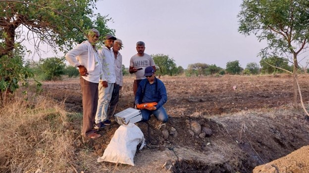
location
Sundarbans, India
Sundarbans is one of the largest mangrove forests in the world located in West Bengal covering deltaic floodplains across Bangladesh and India with about 10,000 square km of mangroves. The tract extends approximately 260 km along the Bay of Bengal and reaches inland for about 80 km. The Sundarbans were inscribed as a UNESCO World Heritage Site in 1997.
Issue
Intensive Cyclones and Coastal Erosion
Sundarbans region is a cyclone-prone area surrounded by three sides with rivers. It was hit by cyclones (e.g. Cyclone Yaas in May 2021) and inundated several coastal villages. Villagers have witnessed multiple intensive cyclones over the decade. Frequent flooding also leads to severe coastal erosion, which can result in the degradation of the total land area. Rising sea levels are presenting significant threats to ecosystems, and intensifying damages due to floods and storms.
Solution / Lesson learned
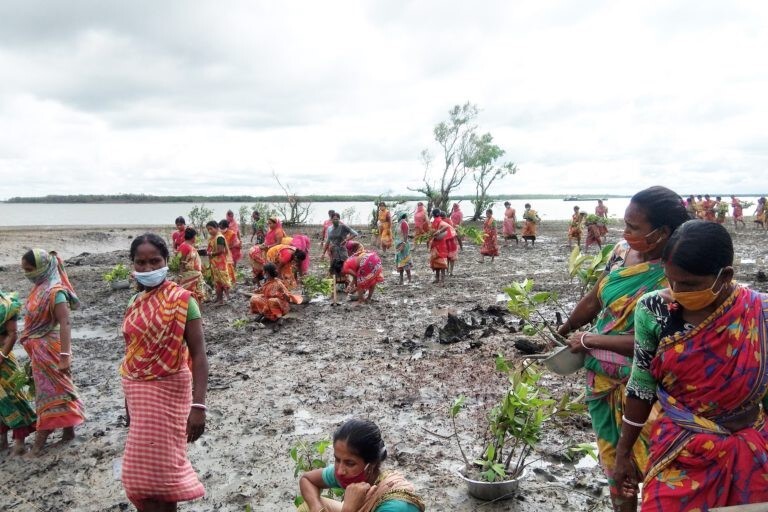
Mangroves as Blue Carbon Ecosystems for Ecosystem-based Disaster Risk Reduction
In Jharkhali, a low-lying village in the Sundarbans, local people were interested in the role of mangroves as natural barriers against climate disasters. While mangroves are an effective barrier against the direct risks of extreme wind, waves, storm surge, and flooding, it has also been attracting attention as blue carbon ecosystems that capture and store the carbon dioxide in the atmosphere. The mangrove plantation has taken place since 2017. Planted trees have reached around 300,000 mangrove saplings for five years, covering roughly 2107 square km. To grow mangrove saplings, local people collect fruit or seeds or collect and plant them directly on the river bank.