Location
Vanuatu
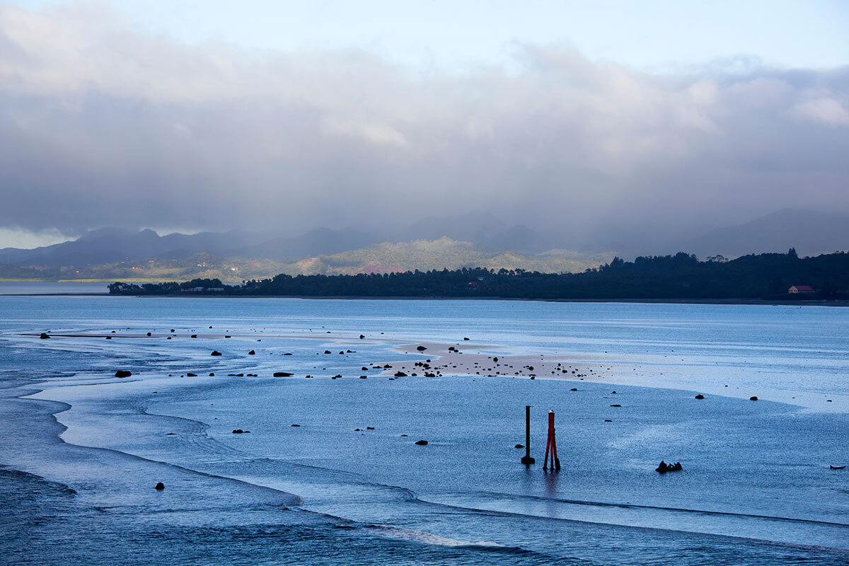
Vanuatu consists of 80 islands that spread across the Pacific Ocean with more than 680,000 km2 within its Exclusive Economic Zone. With consistent economic growth, Vanuatu has one of the highest population growth rates in the region. It also holds ample marine and coastal ecosystems, offering scuba diving at coral reefs, underwater caverns, and wrecks.
Issue
Climate Impacts and Water Scarcity
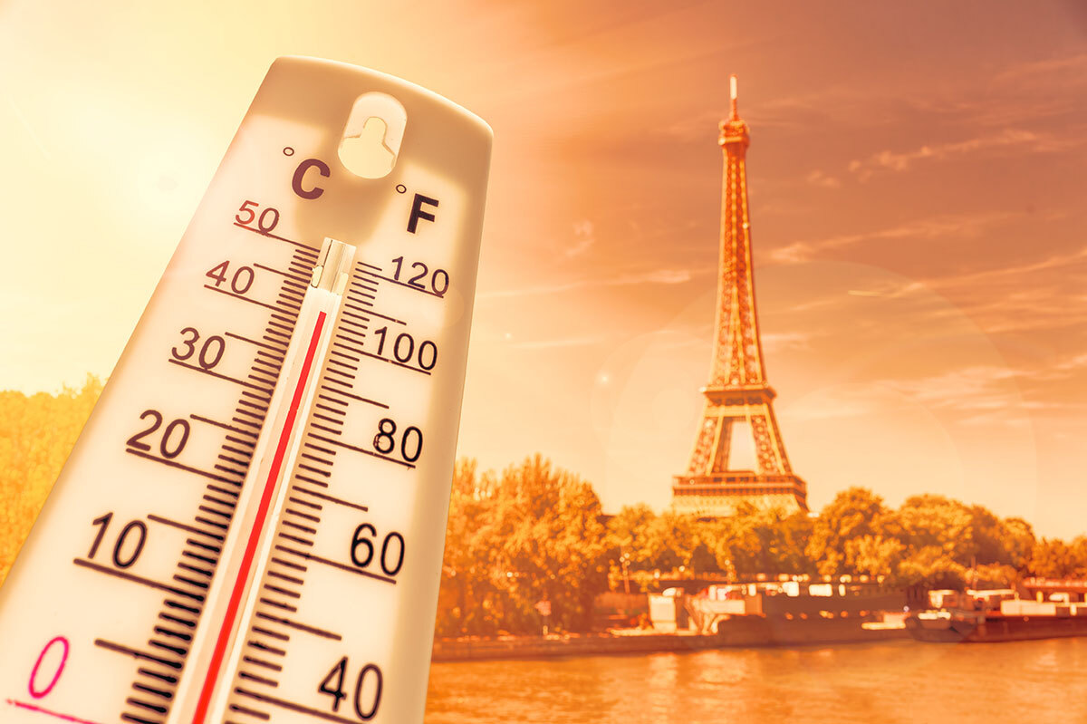
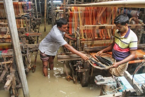
Vanuatu has been affected by climate impacts including higher temperatures on both lands and at sea, volatile precipitation patterns, sea-level rise, and greater exposure to violent cyclones. In 2015, Category 5 Cyclone Pam hit Vanuatu, leaving more than 20 people dead and more than NZ$1 billion in economic loss. Such impacts are anticipated to become more severe over the coming decades, increasing concerns about land erosion, destruction of infrastructure, coral reef bleaching, and degradation of water quantity and quality.
Solution / Lesson learned
Integrated Water Resource Management
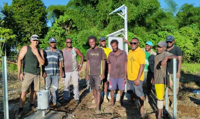
The Climate Information Services for Resilient Development project (The Vanuatu Klaemet Infomesen blong Redy, Adapt mo Protekt: VanKIRAP) in Vanuatu allows people to access climate information services nationwide. In the northern island of Espiritu Santo, new automated weather monitoring equipment, including Automated Weather Station (AWS) and Automatic Rainfall Gauges (ARG) have been installed through this project to provide local people with climate information and early warning. Installation of new devices enables monitoring the weather 24/7 and helps people make better planning decisions such as evacuation during a disaster.