Issue
Heavy rains and typhoons, which can be partly attributed to climate change, are becoming more intense in Japan. The 2018 floods in western Japan affected most of the region. Uwajima city suffered serious damage from the heavy rain-induced disaster in July of the same year that resulted in the loss of 13 lives. The loss and damage underscores the importance of renewed attention towards disaster awareness.
Solution
Burabo-Sanpo (ブラ防さんぽ in Japanese) is a walking tour based on the philosophy of the “bond of mutual support that continues from the Edo period (1603-1868) to the present” and that explores the disasters and history of the town in hopes of raising awareness. It is one of the initiatives by the Uwajima NPO Center (an intermediate support organization formed after the 2018 disaster) that connects people, groups, and information for future town development.
Short Summary:
“Burabo-Sanpo” is a disaster prevention and mitigation learning program in Yoshida town, Uwajima city in Ehime prefecture, Japan that connects the history of Edo period maps with today’s disaster prevention situations.
Description(Details)
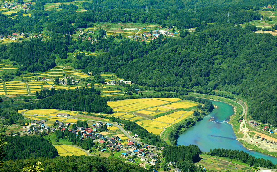
Yoshida town in Uwajima city experienced major flooding in 1852, 1943, and 2018. The map of Yoshida town has not changed much, as it was a planned city built around waterways in the Edo period (1603-1868). After the heavy rains in 2018, which resulted in massive damage in Uwajima city, the Ushioni Conference (https://uwajima-npo-center.jp/en/pages/about-uwajima-npo-center) was set up to overcome this disaster, hold discussions to share information and find solutions to prevent future disasters. As a result, Uwajima NPO Center was established as an intermediate support organization for connecting citizens across sectors. The center came to the conclusion that local groups and diverse citizen activities that were born from this disaster should be utilized for future town development. The center acts as a link between the government, social cooperatives, NPOs, and other private organizations and citizens to provide speedy support, build face-to-face networks during disasters as well as normal times, strengthen responses to future major disasters, and help revitalize local areas through community connections.
Burabo-Sanpo is one such innovative initiative connecting the events in 2018 with the past, resulting in the creation of a walking route that is directly connected to Google Map (https://www.google.com/maps/d/u/0/edit?mid=1hoouBwwZQlmlPhUsyrSjp79Coru2XEPz&ll=33.28401155202508%2C132.53928295873098&z=17) for navigation. The route consists of ten stops along the path which participants can follow during their walk. Each stop is supplemented with information, such as explanations of disasters, pictures of the impacts of the 2018 disaster, and historical facts dating back to the Edo period that participants can explore and learn about while they walk. For instance, point number 5, Seijinji Bridge, contrasts similar flooding disasters in 1943 and 2018 at the location and explains reasons behind the flooding. Interested individuals can participate in the Burabo-Sanpo by applying online. The two-hour walking tour is led by local guides for a fee.
Burabo-Sanpo offers a look at an interesting way to raise awareness of disasters by passing down memories while encouraging people to think about the future of disaster prevention and mitigation.
Acknowledgements:
This report is based on publicly available information from the links in the references section. We appreciate the efforts of organizations and researchers who have made this knowledge accessible.