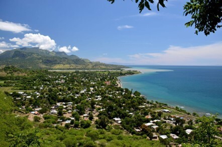
Photo: from Pixabay

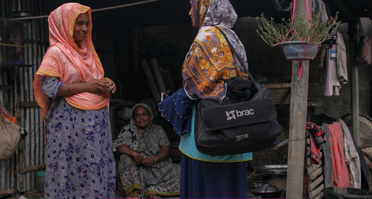
Photo: Maruf Rahman from Pixabay
BASIC INFORMATION
| Source |
National Adaptation Plan of Bangladesh |
|---|---|
| Date posted | Forthcoming |
| Version | 1 |
| Periods | 2021 - 2050 |
Goals
- Ensure protection against climate change variability and induced natural disasters
- Develop climate‐resilient agriculture for food, nutrition, and livelihood security
- Develop climate smart cities for improved urban environment and well being
- Promotion of nature‐based solutions for conservation of forestry, biodiversity and well‐being of communities
- Impart good governance through integration of adaptation into the planning process
- Ensure transformative capacity building and innovation for Climate Change Adaptation
Stakeholder Engagement
Multi-level Institutional Structure
- Conform horizontal and vertical linkage based on the existing institutional framework, in order to carry over locally-led adaptation towards the national level and vice versa.
- Multi-sectoral stakeholder participation is applied, with bottom-up and top-down approaches.
Indigenous people involved
- Indigenous knowledge has been assembled from more than 40 nationwide consultations with vulnerable and marginal communities considering government and private sector, NGOs, CBOs, civil society, gender, youth, and social inclusion.
- Local level consultation has been conducted in order to identify the risks and vulnerabilities.
Risk Assessment
Climate risk assessment (current trend, future projections)
Highly vulnerable to climate change due to low-lying terrain, high population density, and location in the confluence of the Ganges.
Current trend
TEMPERATURE: Temperature in Bangladesh increased at the rate of 0.0056 °C per year from 1961 to 2014. Temperatures have been rising throughout the year with minimum temperature increasing 0.02°C/year and maximum temperature increasing 0.022°C/year.
PRECIPITATION: Average annual rainfall is around 2,400 mm, but the amount varies significantly across the different hydrological regions of the country, with values ranging from 791-2241 mm in the dry NorthWestern Barind Region, to 2586-5944 mm in the North-Eastern Region. In nation-wide, the rainfall is increasing at 8.4 mm/year
SEA LEVEL RISE: Between 1901 and 2010 sea level has risen at 1.7mm/year. The Bay of Bengal is also experiencing increasing sea surface temperature and decreasing trend in pH is observed.
Future projection
TEMPERATURE: It is estimated that Bangladesh will warm further, with an increase of 0.44 to 0.69°C in the near term (2030s) and 1.3 to 2°C in mid-term (2050s), slightly different depending on the region.
PRECIPITATION: Future rainfall in Bangladesh ranges between 0.1 to 1.4 percent in near term and 2.4 to 3.5 percent in mid-term. The north eastern and eastern hill regions will receive more than the western part of the country.
SEA LEVEL RISE: Future sea-level rise in Bangladesh is estimated to be between 0.11-0.12 m in near-term, 0.23-0.27 m in mid-term and 0.54-0.86 m in long-term.
CLIMATE HAZARDS: Due to climate change, most climate related hazards will have increased occurrence or intensities. Important hazards in Bangladesh are rainfall variability, river flood, flash flood, urban flood, sea level rise, salinity, cyclonic storm surge, drought, extreme heat wave, extreme cold, river bank erosion, lightning, landslide and sea surface temperature and ocean acidification.
data sources
Current trend
TEMPERATURE:
Figure p.11: Departure of Average Annual Temperature in Bangladesh relative to climate normal of 1960‐90
Data source: CEGIS Analysis based on BMD data
PRECIPITATION:
Figure p.12: Departure of Average Annual Precipitation in Bangladesh relative to climate normal of 1961‐90
Data source: CEGIS Analysis based on BMD data
Future projection
TEMPERATURE:
Figure p.13: Future Annual Average Temperature and Rainfall Anomaly for Bangladesh and different regions based on Downscaled Multi‐model Ensemble
Data source: CEGIS analysis from IPCC AR6 multi model ensemble
PRECIPITATION:
Figure p.14: Seasonal Rainfall Anomaly for Bangladesh and different regions in 2050s based on Downscaled Multimodel Ensemble
Data source: CEGIS analysis from IPCC AR6 multi model ensemble
SEA LEVEL RISE:
Figure p.14: Sea level rise due to future climate change near Bangladesh coast in the Bay of Bengal
Data source: IPCC, 2021
CLIMATE HAZARDS:
Figure p.15: Future seasonal flow variation in the GBM basins
Data source:CEGIS GBM Model
Figure p. 19: Flash flood affected area in north eastern Bangladesh
Data source: CEGIS Analysis based on satellite image
Figure p.20: Potential inundation due to Sea level rise and cyclone storm surge in the coastal area for 2050s
Data source CEGIS Bay of Bengal Model, 2021
Figure p.20: Distribution of different categories of Cyclone during 1960 to 2020
Data source: CEGIS analysis based on BMD data
Figure p.21: Surface water salinity distribution in coastal Bangladesh due to climate change
Data source: CEGIS Bay of Bengal Model
Figure p.22: Land surface Temperature changes in Dhaka
Data source: CEGIS analysis based on satellite image
Planning
Priority sectors
- Water resources (21 projects)
- Disaster, social safety and security (12 projects)
- Agriculture (12 projects)
- Fisheries, aquaculture and livestock (13 projects)
- Ecosystem, wetlands and biodiversity (21 projects)
- Urban cities (12 projects)
- Policy and institution (7 projects)
- Capacity Development, Research and Innovations (15 projects)
DRR
Disaster management focuses on creating and strengthening disaster preparedness and its infrastructures such as cyclone shelter, flood shelter, EWS for lightning and landslides etc.
NbS / EbA
The following essence of EbA/NbS are observed:
- Redesigning of the hydraulic structures following NbS
- Develop and popularize conducive policy and incentive tools to popularize urban NbS or green infrastructures at the community level
- Capacity development of local government institutions for supporting implementation of LLA and NbS
- Training on understanding the sensitizing NbS and LLA
- Mobilise resources for implementation of NbS and LLA
- Identify the gaps, possibilities and challenges in potential application of EbA and NbS.
- Development of a national framework for effective.
- implementation of EbA and NbS in different sectors of
- Bangladesh.
- Assess and valuation of the ecosystem service of the ecologically important areas to identify EbA and NbS.
- Assess and identify new intervention considering the NbS.
- Development and implementation of integrated plan following the green growth strategies.
- Identify the vulnerability of the freshwater ecosystems against climate change to promotes long-term increases in fish production through EbA and NbS
Implementation
Implementation structure
NAP offers a multi-level institutional structure based on the existing institutional framework, conforming horizontal and vertical linkage to carry over locally-led adaptation towards the national level and vice-versa.
In National level: National Council on Environment and Climate Change (NCECC) and responsibilities added to oversee the strategy and policy level progress and outcome of the NAP and NDCs implementation under the umbrella of National Environment Policy.
Inter‐ministerial Steering Committee on Climate Change (ISCCC) headed by Minister, MoEFCC will steer the NAP implementation and conduct inter-ministerial coordination meeting in regular frequency keeping NAP implementation monitoring agenda with high priority.
In Local level: District Committee chaired by District Commissioner in each district will be given the scope to stocktake, guide, supervise and administer climate change adaptation related initiatives mandated by the legislations. This committee will play central role in local, regional, and sectoral planning and implementation of CCA with community and value chain actors.
Private sector engagement: The private sector emphasizes on developing effective business models for private sector engagement in the key areas of NAP including in agriculture and food systems, agro-forestry, agromet forecasting and EWS, irrigation & water management, WASH and health risk management, big data driven decision tools and resilient infrastructures etc.
M&E
M&E Implementation status
NAP will develop a national monitoring and evaluation (M&E) framework based on a combination of a simplistic monitoring system and a comprehensive monitoring approach through identifying and assessing achievements in a very sophisticated way. The first “simplistic” monitoring system presents a summary of NAP progress utilizing traffic light colors. The second and more comprehensive approach includes a process and outcome or result-based framework to monitor and evaluate the efficacy of implemented adaptations against the set targets.
KPI and other indicators
The NAP M&E framework involves a threefold system to monitor, evaluate, and report adaptation progress.
This M&E system will use indicators based on three light traffic colors,i.e., RED, AMBER, and GREEN as follows:
Strategic action not implemented/lack of progress in delivering
results (RED)
Strategic move partially implemented/some progress in providing
results (AMBER)
Strategic action fully implemented/significant strides in delivering activities (i.e., completed or on-track) (GREEN)
Changes/additions to the updated version of the document, if any
N/A
Plan for review and updating
At least a 5 five-year updating/revision cycle.
Status of supports by international organizations, if any
NAP of Nepal is supported by Green climate Fund (GCF) and UNDP.
Related Information
KEYWORDS
- # Adaptation Policy
- # Agriculture
- # Biodiversity/Ecosystem
- # Energy
- # Forests/Forestry
- # Human Health
- # Life of Citizenry and Urban Life
- # Local Communities
- # Natural Disasters
- # Tourism
- # Water Environment/Water Resources
- # Adaptation Action/implementation
- # Adaptation Planning/Policy
- # Capacity Building
- # Disaster Prevention/Disaster Mitigation
- # Impact Assessment/Risk Assessment
- # International Cooperation
- # Coastal Areas
- # Fisheries
- # Adaptation Funding/Finance
- # Climate Projection
- # Locally-led Adaptation
- # Nature-based Solutions
- # Asia
- # Bangladesh